

-
Pixxel Space
Posts
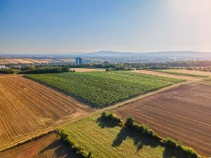
Analysing Drone and Satellite imagery Using Vegetation Indices
Vegetation indices enable precise assessments across vast areas by converting raw imagery into actionable insights. Advances in drone and satellite technology enable more efficient and...